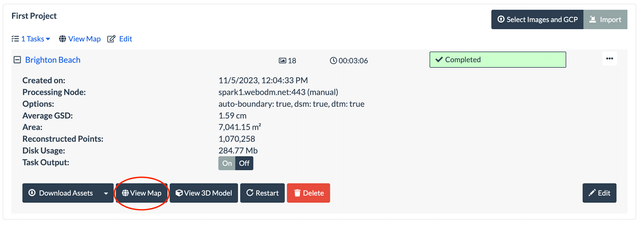
2. Use the line tool to draw a line on the map, then choose DSM or DTM and press Show to display the elevation profile.
note
If the button is not there, it means that neither a DSM or a DTM is available to compute the profile. Make sure you processed the task with the dsm or dtm option.
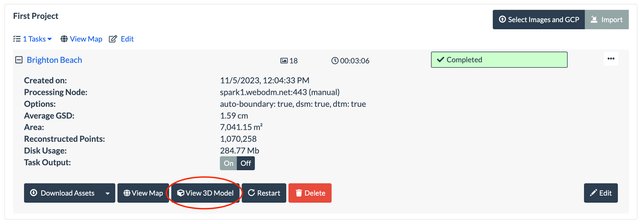
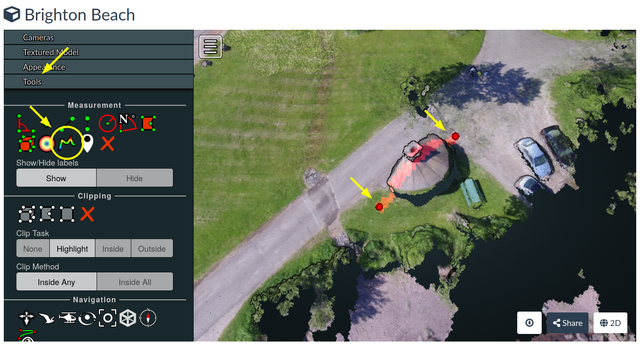
2. Expand the Tool menu and select the Height Profile tool. Click on the 3D model to define a line, right-click to finish
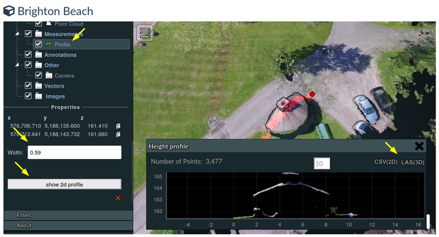
3. Scroll the Tool menu and select the Profile measurement. Adjust Width to set the width of the profile. Press "show 2d profile" to display the height profile. Press CSV or LAS to export the profile.